This post is also available in:
 Deutsch
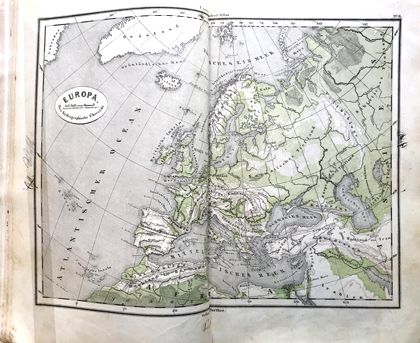
The Prussian officer, geographer and cartographer Emil von Sydow (1812-1873) had a great interest in colour lithography for wall maps. The colours green for the lowlands (meadows), brown for mountains (rocks) as well as black for text and lines were his invention. Later, blue was added for water. He produced numerous maps, many of them published in large editions, such as the school atlas shown here, a copy of the 21st edition.

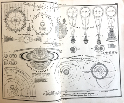
In addition to maps of various countries of the world, the atlas also contains representations of the sky and explanations on mathematical geography.

A digital version of the atlas by Sydow can be found in the Rechercheportal. This exhibit and other atlases from the 18th and 19th centuries are shown in the exhibition «Exploring the world» on floor J of the Main Library – Science.
Emil von Sydow: E. von Sydow’s Schul-Atlas in zweiundvierzig Karten. Ein und zwanzigste Auflage. Gotha, Justus Perthes 1869
